Geospace array radar

“Geospace” refers to the area from the Sun to the lower atmosphere, including near-Earth space. Geospace is highly dynamic and subject to space weather effects that disrupt critical systems.
Space weather can affect the function and performance of satellites, HF transmissions, L-band satellite communications, near line-of-sight communications, Global Navigation Satellite Systems (GNSS) and Global Positioning System (GPS) technology, and operational radars used for national security. A number of recent technological advances have made it possible to construct advanced geospace radars to enable critical measurements of the space environment.

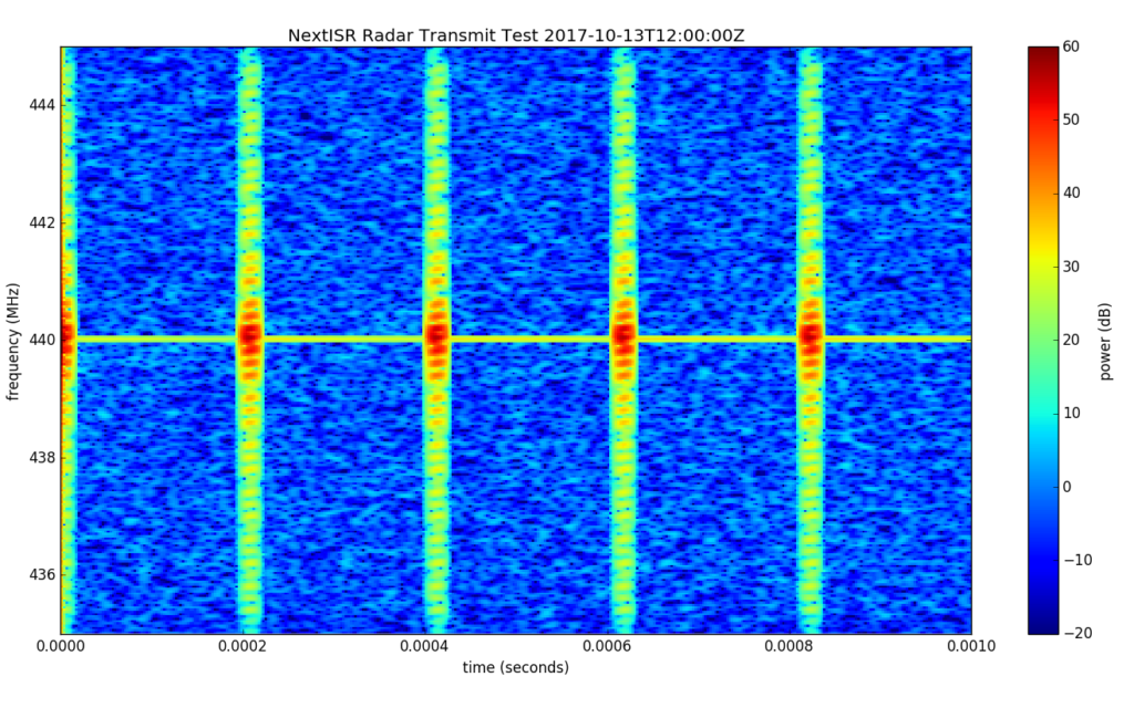
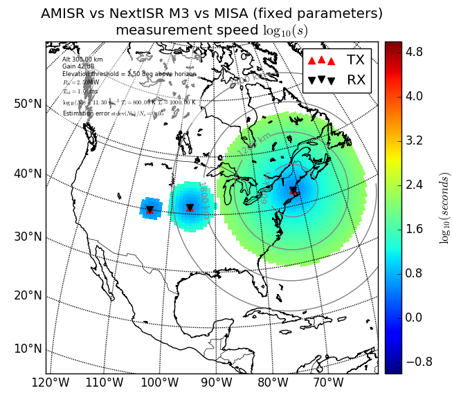
MIT Haystack Observatory is pursuing the design, modeling and technical development of advanced software-defined geospace array radars. A global network of these systems would produce a revolutionary advance for space weather by providing real-time full-altitude profile ionospheric plasma parameter measurements in a global, uniform, and “always-on” configuration. These measurements will be ideal for use in models of the near-space environment and will be immediately useful in both space weather and scientific applications.