Geodesy
Geodesy is the science of accurately measuring the geometric shape of the earth, its orientation in space, and its gravity field, and monitoring how these properties change over time. Space geodesy is the geodesy that is practiced using extra-terrestrial assets such as satellites and quasars.
Haystack scientists and engineers focus on two aspects of space geodesy: geodetic VLBI, or measuring positions on the earth and the earth’s rotation and orientation, and polar geodesy, or measuring polar ice in the Arctic and Antarctic.
Spotlight Projects
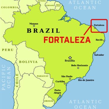
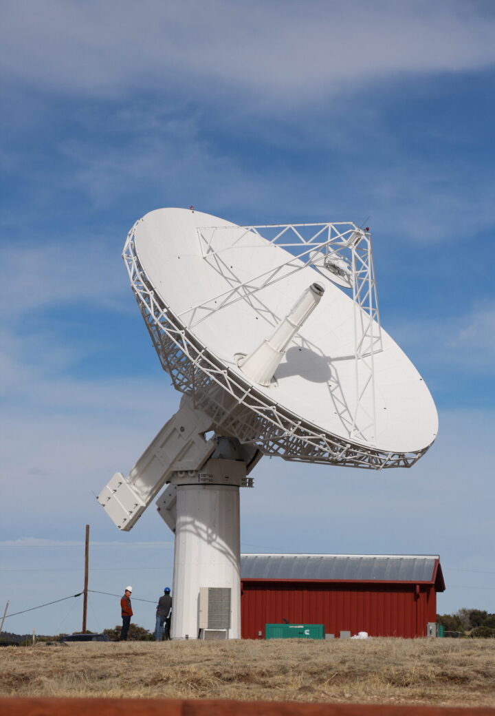
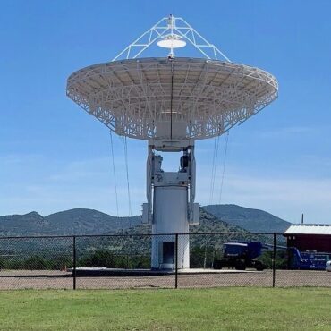
Fortaleza: The Next Generation of VLBI Telescopes
Haystack is designing and installing the signal chain for a new NASA radio telescope in Fortaleza, Brazil.
SGIP: Antarctic Seismo-Geodetic Ice Penetrator
Monitoring the response of ice shelves in Antarctica to ocean forces.
Co-located techniques and atmospheric ties
Developing a method to incorporate constraints from atmospheric structure to improve the accuracy of relative site position estimates and ITRF combinations.