Madrigal Geospace Database

Madrigal is an upper-atmospheric science database used by groups throughout the world. Madrigal is a robust, web-based system capable of managing and serving archival and real-time data, in a variety of formats, from a wide range of upper-atmospheric science instruments. Data at each Madrigal site is locally controlled and can be updated at any time, but shared metadata between Madrigal sites allow searching of all Madrigal sites at once from any Madrigal site.
The main CEDAR Madrigal site contains a backup of all data at all site. All other sites can also be found from that page.
Millstone Hill has actively pursued the development of the Madrigal distributed data system to address the needs of staff and community scientists. A standard in the upper atmospheric community, Madrigal was created and launched at MIT Haystack in the early 1980s prior to being adopted as the basis for the CEDAR database. In 2012, the main CEDAR database moved to a modernized version of the Madrigal platform hosted by MIT. As of 2019, there was data from 159 instruments in the CEDAR Madrigal database, totaling over 27 TB of data, with rapid growth each year.

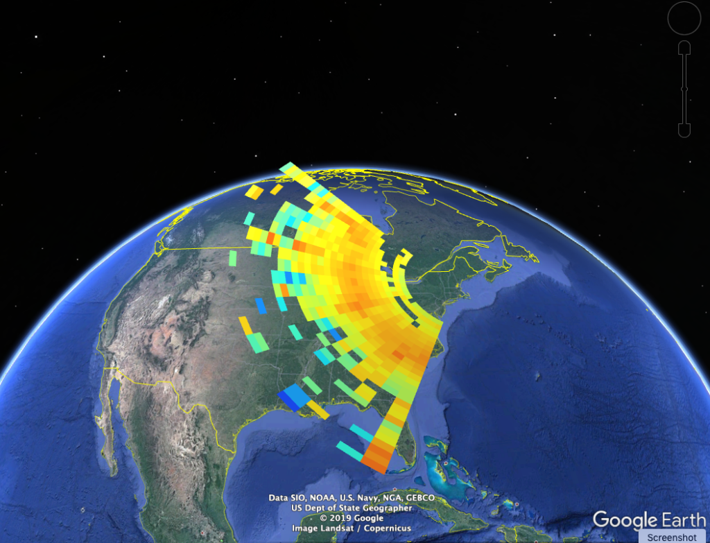
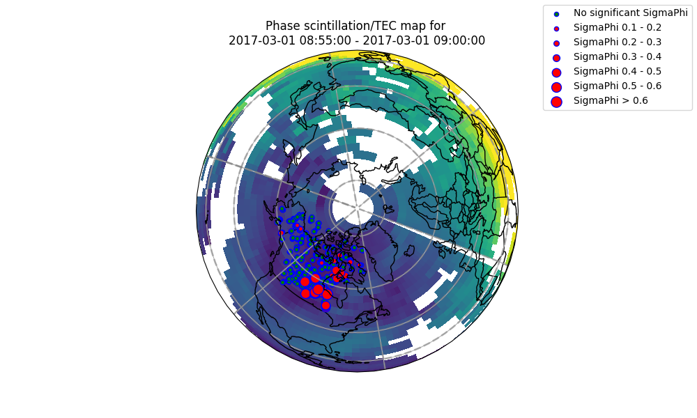
Madrigal has been adopted by all Geospace incoherent scatter radars alongside a continually expanding range of additional instruments such as Fabry-Perot interferometers, optical imagers, satellite platforms (e.g., DMSP), and GNSS TEC. Its derived parameter engine allows a wide variety of contextual/ancillary geophysical parameters and community models (e.g., geomagnetic coordinates, IRI, MSIS) to automatically appear alongside the instrument providers’ primary measurements. Madrigal maintains MATLAB, Python, and IDL application programming interfaces providing access to full data capabilities for software-based data analysis. The open source software model has resulted in many community-developed enhancements and improved user interfaces (e.g., Arecibo real-time IS radar data displays enabled in 2014 with Madrigal tools).
Other features include availability of the entire CEDAR upper atmosphere community data set in standard HDF5 format within Madrigal, with on demand format translation to either NetCDF4 or ASCII. Yearly Madrigal tutorials at the international IS radar school and CEDAR meeting disseminate information to the next generation of space scientists on how to use Madrigal data for research.