Zephyr Meteor Radar Network
Meteor radars operate by reflecting a transmitted signal off of a meteor plasma trail and inferring properties of the meteoroid and atmosphere, including wind speed and direction, based on the returned signal. Traditional meteor radars estimate a mean wind covering a broad horizontal region as a function of altitude and time.

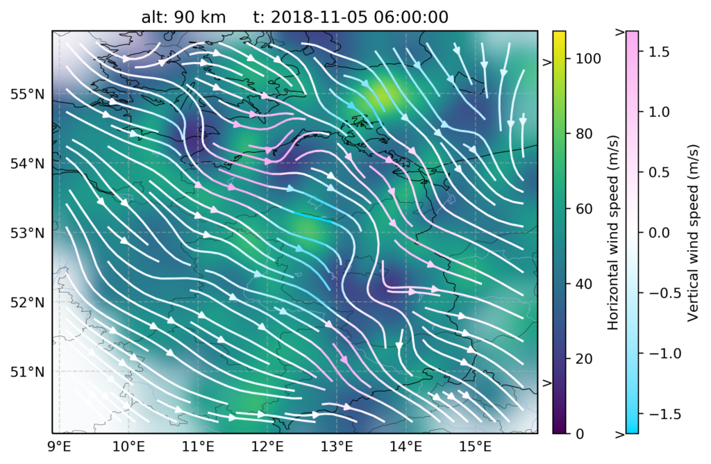
Recent developments in multiple-input multiple-output (MIMO) meteor radar networks have made higher-resolution wind measurements of the upper atmosphere possible. These networks operate over coded continuous-wave links between separately located transmitter and receiver sites to increase the density of specular meteor trail observations and provide diversity in sensing Doppler-derived wind projections. Such datasets contain enough information to estimate the three-dimensional wind field within the observation volume to a resolution limited only by the measurement density in space and time.
The purpose of the Zephyr project, funded under the US National Science Foundation Distributed Array of Small Instruments (DASI) program, is to further develop instruments and techniques to produce a modular, expandable, production-quality MIMO meteor radar network. Testing and deployment will take place near the Rocky Mountains with a network consisting of two transmit array sites, one receive array site, and ten single-receiver sites providing observational coverage of upper atmospheric winds in a region spanning ~90,000 square kilometers. The project encompasses: hardware engineering, to optimize system design and produce a remote-deployable integrated receiver unit; software engineering, to create open source tools for radar operations, meteor detection and processing, and wind field estimation; and scientific analysis, to study the upper atmosphere in the Rocky Mountain region and measure the lower thermospheric wind field from a new mesoscale perspective.